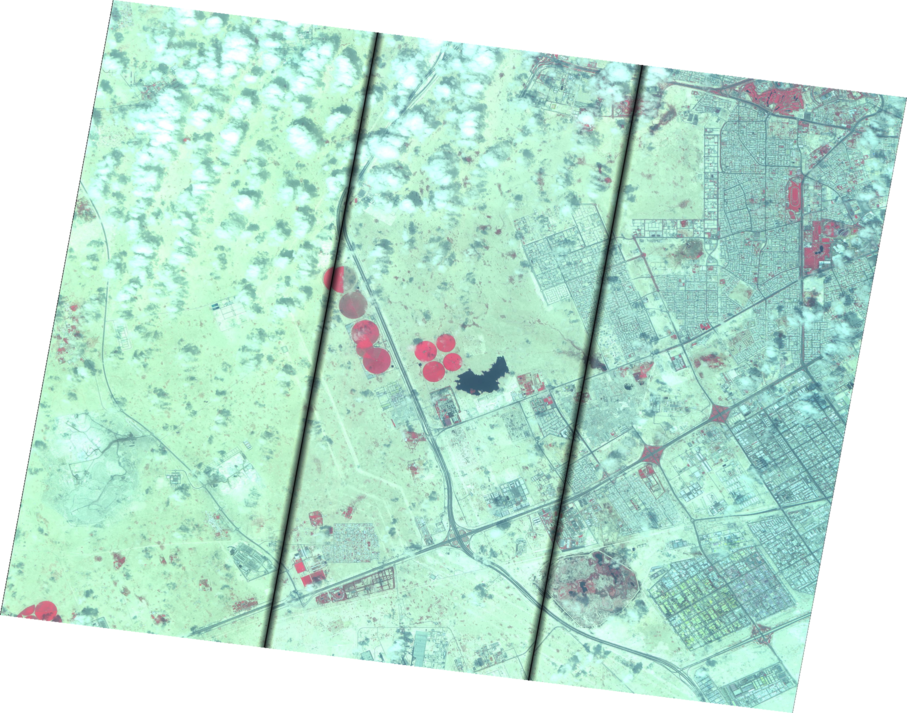
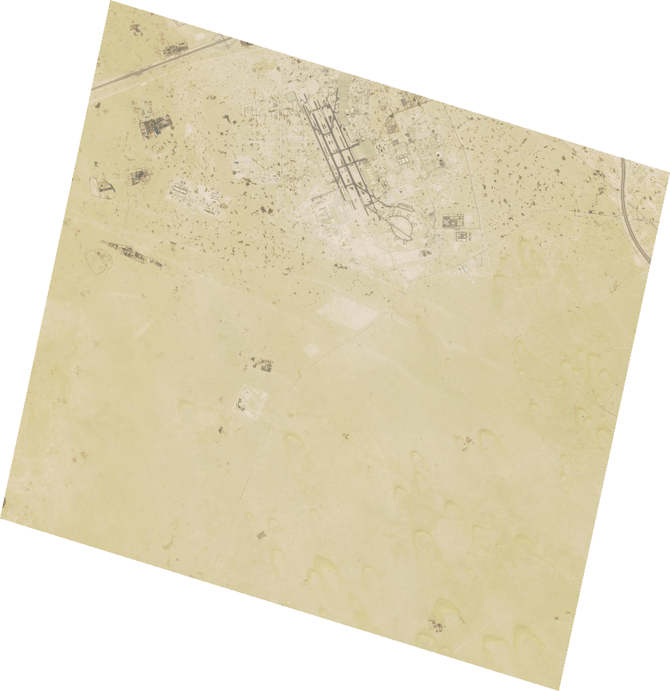
Compare for example a preview image of a Superview-1 (50cm) swath over Al Udeid Air Base during the intensity of the war in March 2026 versus a preview image of a Jilin-1 (30cm) swath over Al Udeid Air Base from a few days ago.[2][3] These are both Chinese commercial satellite imagery providers and in both very low resolution preview images it's easy to zoom in and make out dark spots on the apron to estimate how many airframes are on the apron (almost none in March and many in November).
Even Sentinel-2 imagery (low resolution 10m) has proven good enough to find ships (but not track in real time of course) and observe black spots where buildings have been damaged.
Iran has repeatedly published high resolution SAR and visible imagery of targeted sites in gulf countries quite soon after attacks, demonstrating seemingly little difficulty with accurate targeting and assessing damage of fixed targets. Blurring imagery on Google Maps that is at best updated once a year is wasted effort when considering the high and rapidly increasing volume of remote sensing satellites in orbit from all sorts of countries.[1]
[1] https://www.polarisintelligence.co/spacecraft?mission_type=s...
[2] Superview-1 (50cm) swath preview of Al Udeid Air Base from 11 March 2026: https://imagehunter-api.apollomapping.com/static/img/preview...
[3] Jilin-1 (30cm) swath preview of Al Udeid Air Base from 2 November 2026: https://imagehunter-api.apollomapping.com/static/img/preview...